31 October 2013 | Ashland, OR -- When author Michael Kauffmann was 13 years old, he saw his first redwood on a family road trip from Virginia. For the last twenty five years he's been exploring the west, drawn by its remote conifer forests that have lasted throughout the warming and cooling of geologic time.
And now Kauffmann's self-published his second book, Conifers of the Pacific Slope. The 142-page field guide provides descriptions and identification guides for each of the 65 conifers that grow from northern Mexico to southern Canada.
And now Kauffmann's self-published his second book, Conifers of the Pacific Slope. The 142-page field guide provides descriptions and identification guides for each of the 65 conifers that grow from northern Mexico to southern Canada.
The book includes a horizontal identifcation key. And the introduction is a good source for those wanting to delve deep into the west's wild natural history. But what lies after could be the most comprehensive and user-friendly tool to identify conifers available.
Each id includes easily discernible and high quality, colored pictures of unique identifying characteristics. Accompanying are detailed descriptions of each tree's bark, needles, and habitat, which will lay to rest any arguments or settle any bets over the identification of every conifer found in Oregon, Washington and California.
Each id includes easily discernible and high quality, colored pictures of unique identifying characteristics. Accompanying are detailed descriptions of each tree's bark, needles, and habitat, which will lay to rest any arguments or settle any bets over the identification of every conifer found in Oregon, Washington and California.
The book is especially unique because it transcends borders often held by extension services and audubon chapters, National Forests and Bureau of Land Management Districts. And if you are looking for rare conifer populations, like the Baker's cypress population near Miller Lake in southern Oregon, this is the book for you.
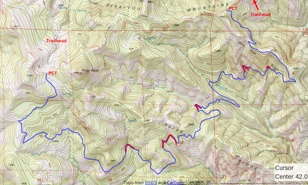
Take the distribution maps available for each conifer and cross reference them with USGS topos and district maps to locate the rare finds Kauffmann has taken outstanding pictures of. His shots bring these giant plants to life, and the photographers (including SMC volunteer Brandon Andre) incorporate scale to provide perspective on just how giant they are. Kauffmann's objective was to create something accessible.
"I've published some academic papers," Kauffmann says, "but only the academic elite reads that stuff."
He's worried natural science is slipping through the cracks and modern science is too dominated by controlled laboratory studies. "I think natural history is a lost art, but it's coming back around," he says. "I think there's a natural history renaissance happening."
Kauffmann has spent the last quarter-century hunting conifer populations like a miner for gold. His migration to northwest California from Virginia even follows the density of his favorite gymnosperms.
He's found populations of rare species in areas they were never documented. And Kauffmann gives us a taste for the stories that brought him there, which may leave some readers may walk away wanting a little more of Kauffmann's own narrative. Maybe at some point in the future he will offer that to us.
All in all, Conifers of the Pacific Slope is the best field guide for the west coast's many conifers. And it fits into your back pocket.
You can hear Kauffmann's lecture on conifers, evolution and climate change on November 8 at 7pm in Ashland's Headwaters Building (84 fourth street). The next day (November 9) he is leading a hike on the Pacific Crest Trail, which you can sign up for at the talk.
Pick up Conifers of the Pacific Slope at the Northwest Nature Shop in Ashland (154 Oak St), or buy it online at www.BackCountryPress.com or on Amazon.com. And never look at a conifer the same way again.